
Capstone Insights Q4 2026
From Back-of-the-Napkin Sketches to AI: The Evolution of Land Development Feasibility
By Christopher Troke | Independent Contributor
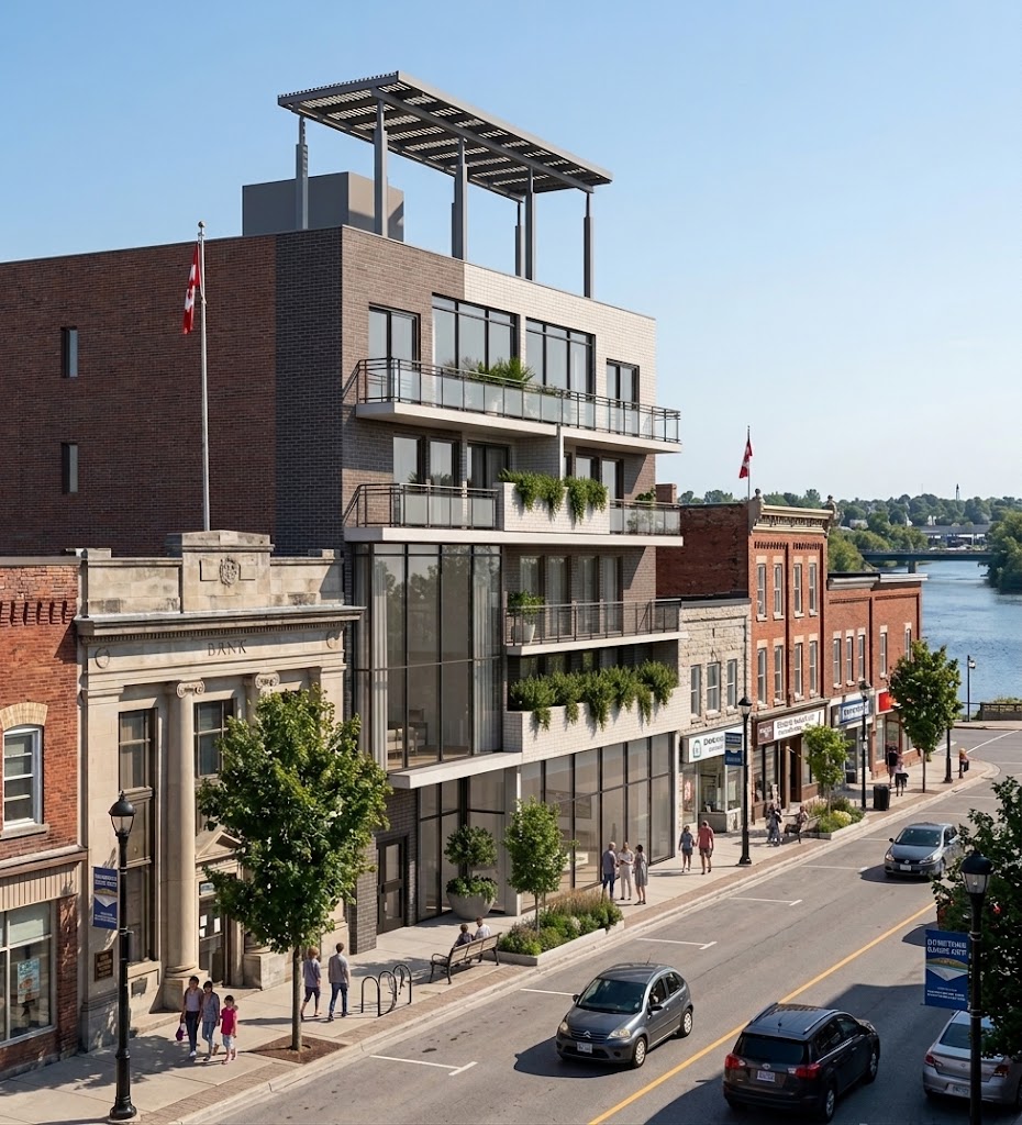
How an early vision for 3D ground-mesh technology helped me rethink land development - and how today's AI tools are advancing that same idea.
The Problem That Started Envision
My journey into development technology started with a frustration many developers will recognize: trying to figure out what a piece of land could become before spending a lot of money finding out.
While working for a global asset management firm, I was also acquiring land, pursuing rezoning opportunities, and developing projects for myself and my clients. The first question was always the same: What is the highest and best use of this property, and does the opportunity make financial sense?
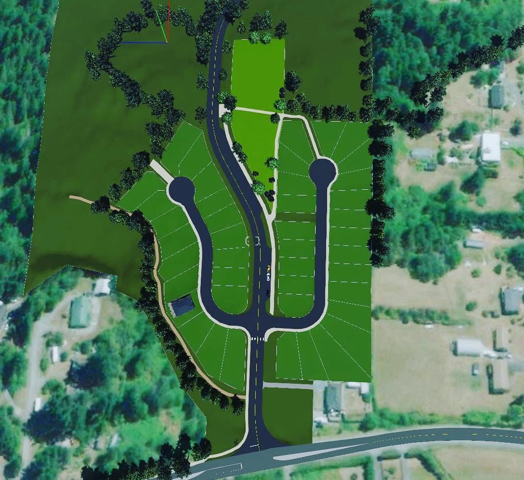
Before preparing a meaningful pro forma, I needed preliminary density calculations, building areas, and site massing. Traditionally, that meant hiring architects, surveyors, and planners before I could confidently assess the numbers.
Their expertise was essential, but the process took time and money. By the time preliminary work was complete, a property might have sold, an opportunity might have disappeared, or the asking price might have increased.
So, like many people in the business, we started with what we called back-of-the-napkin designs. We sketched building footprints, estimated density, and ran preliminary numbers to decide whether a property was worth pursuing.
For larger sites, that wasn't good enough. I wanted something more visual, practical, and efficient.
That frustration led me to establish Envision Designs & Developments. The objective was simple: expedite the feasibility process and help people see a property's potential earlier.
Seeing the Vision, Not Just the Site Plan
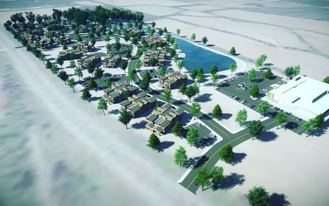
My research eventually took me to a GIS conference in Berlin, where I explored three-dimensional ground-mesh technology, geographic information systems, and the potential of drone-based data collection and geotagging.
I ultimately purchased 3D ground-mesh software from a firm in South Carolina. The technology later became part of a business acquired by Bentley Systems. I also tried to secure Canadian rights, although the company had not approved my proposed business model at the time.
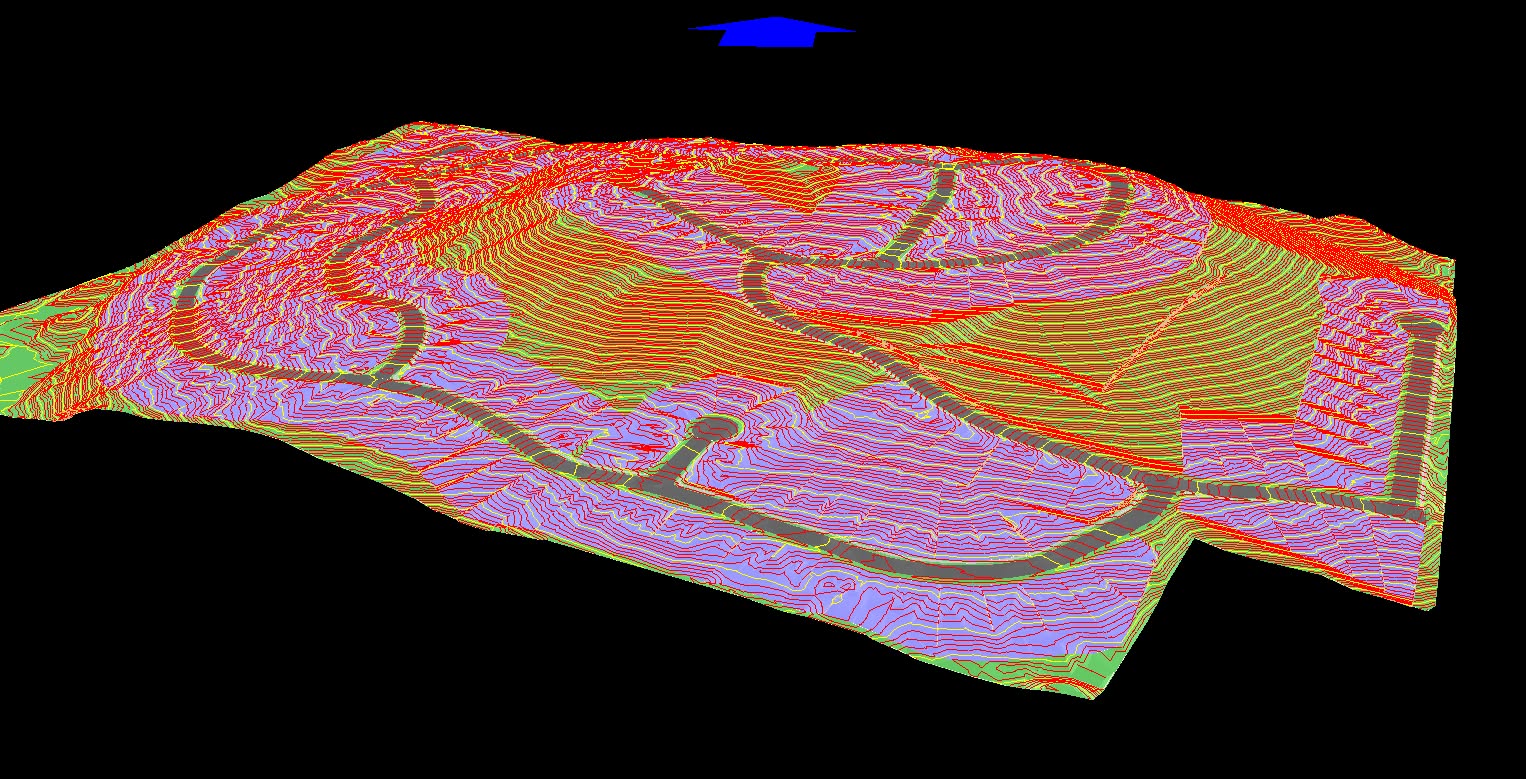
What excited me was the ability to combine the software with SketchUp and Google Earth to place proposed designs directly into their actual geographic surroundings.
We could create interactive site flyovers, illustrate vehicle and pedestrian movement, and produce shadow studies showing how a proposed building might affect neighbouring properties throughout the year.
Rather than asking planning staff or council to interpret a flat drawing, we could show them the vision. Following a preliminary presentation or first reading, we could revise the design, test alternatives, and present the changes.
The software also allowed us to virtually parachute into almost any location in the world. By geolocating an address or development site, we could build and visualize concepts in their actual surroundings without being physically present at the outset.
Naturally, we still had to research local planning requirements, including zoning, setbacks, and riparian restrictions near waterways. The technology helped us explore possibilities, but understanding the local regulations remained essential.
From Comox to the Caribbean - and Iceland
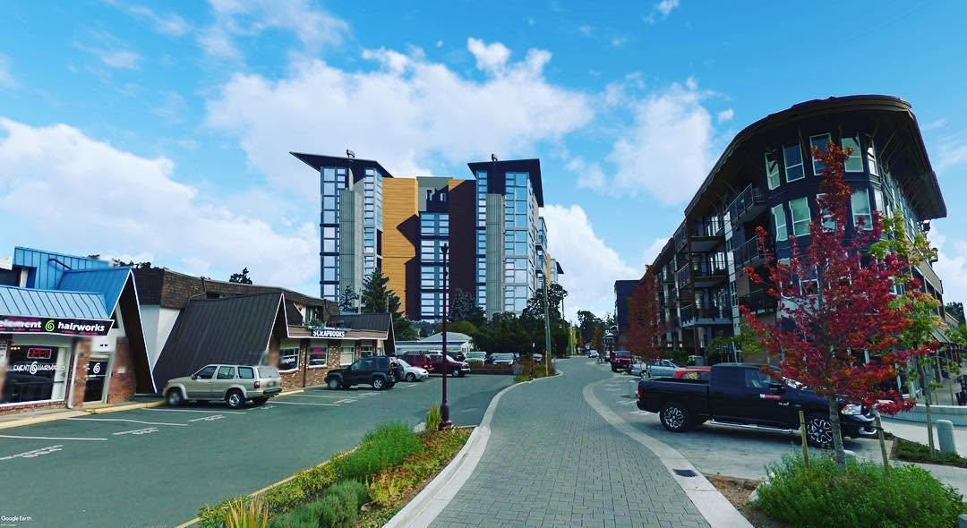
One project particularly close to home was a seniors' condominium development we designed on Aspen Lane in Comox. We used visualization to communicate the proposed development and help decision-makers understand the concept.
Once the project received preliminary approval, we found a buyer for the owners based on the seniors' development concept. The buyer ultimately built what we had designed.
For me, that demonstrated the value of combining development planning with real estate experience. We weren't simply creating drawings; we were helping owners understand, present, and realize the value of their land.
The technology also opened doors internationally. We undertook extensive site planning across hundreds of acres in the Dominican Republic and Belize, exploring single-family subdivisions alongside multifamily residential and commercial uses.
These projects required us to consider local planning requirements and site-specific constraints, not simply draw attractive layouts.
One of the software's most useful capabilities was its elevation data. With elevations accurate to within approximately 0.25 metres, we could explore how natural ground levels might influence building placement, grading, and civil works.
By working with the site's natural contours, we could aim to minimize unnecessary excavation and fill. We could also estimate the volumes of material that might need to be brought onto or removed from a site, helping inform preliminary site-preparation costs.
The same approach could extend to infrastructure. We could develop preliminary cost analyses using local unit rates for earthworks, asphalt paving, and concrete requirements, including heavy-duty warehouse loading areas. These were estimates rather than final engineering quantities, but they helped connect the proposed design to the financial realities of construction.
Another memorable project took us to Reykjavík, Iceland, where we helped redesign a zip line and downhill sled ride in the area of Reykjavik. I had met the owner, originally from Whistler, in the Dominican Republic, and we became good friends.
He had leased the site from the government, and we used the software to reconsider the layout and landing points for the towers. It was a fascinating example of applying the same technology to a completely different type of development.
Working on projects in other countries was one of the most rewarding aspects of Envision. We could explore the concept digitally, travel to the site for reviews when required, and use what we learned on the ground to refine the design.
The Modern Parallel: AI and Generative Design
Fast-forward to today, and many of the capabilities we were pursuing are becoming more accessible.
AI-assisted design, generative layouts, and automated feasibility tools can produce preliminary concepts in minutes. Developers can explore building configurations, generate massing studies, estimate floor areas, and visualize alternatives much faster than was practical when I started Envision.
The underlying idea hasn't changed: shorten the distance between identifying a property and understanding its potential.
However, a concept generated in minutes isn't necessarily a reliable feasibility study. AI can produce convincing images while overlooking zoning restrictions, setbacks, parking requirements, servicing constraints, or inaccurate site information.
A visually impressive building doesn't guarantee municipal approval or financial viability. The results still depend on accurate data, sound assumptions, local knowledge, and professional judgment.
What Has Changed - and What Hasn't
The technology has advanced enormously, but the fundamental questions remain familiar.
What can this property accommodate? What will it cost to build? What approvals are required? What is the likely value, and does the opportunity justify the investment?
What has changed is how quickly we can explore alternatives and communicate them to owners, planners, councils, investors, and prospective buyers.
What hasn't changed is the importance of experience. A density calculation is not an approval, a preliminary concept is not a construction drawing, and a pro forma is only as credible as its assumptions.
I believe the next phase will connect site modelling, planning information, AI-generated designs, construction costs, and financial projections into a more integrated workflow.
Looking back, Envision grew from a problem I encountered in my own development and real estate work. We were trying to make feasibility faster, visualization clearer, and development decisions better informed long before today's AI tools became widely available.
The real opportunity isn't simply to design faster. It's to see the potential earlier, communicate the vision clearly, and make better decisions before committing significant time and money.